FISHERS are being encouraged to take the time to understand how marine park boundaries are displayed on their GPS chartplotters to ensure they follow the zoning rules.
Great Barrier Reef Marine Park Authority field management director Richard Quincey said while free zoning maps were available, many fishers now relied solely on their GPS plotters without properly understanding how zones were displayed.
“Marine park zone boundaries are GPS co-ordinate-based along lines of latitude and longitude,” he said.
“On the water, zone boundaries can be identified using navigational aids such as handheld GPS units and chartplotters. You need to know where you are at all times when on the water.
“The best way to do this is to use a GPS to keep an eye on where you are, cross check your location with a free zoning map and if you have a GPS chartplotter, know how zones are displayed on your unit. GBRMPA supplies zone boundary information to a number of major electronic chart companies and GPS manufacturers to incorporate into their products.” Fishers must make sure their unit is set to map datum GDA94 or WGS84, which ensures their unit aligns with the datum used for zoning in the Great Barrier Reef Marine Park.
“If fishers have questions about their plotter displays, they should contact the dealer they bought the unit from,” Mr Quincey said.
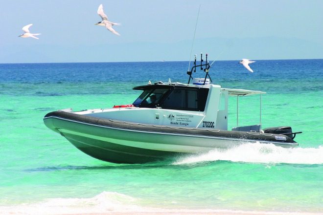
“Not being able to read your plotter is not an excuse for illegal fishing. Our compliance patrols run day and night. If you’re caught fishing in a green zone you can expect an $1800 infringement notice, or in some cases prosecution in court.” Even without a GPS, coastal and inshore fishers can still determine their location relative to most zone boundaries.
“Green zones close to the coast are mostly simple shapes and boundaries and have intentionally been lined up with recognisable coastal features such as headlands to assist marine park users,” Mr Quincey said.
“We treat any poaching in marine protected areas as a serious offence – compounded across the whole marine park, illegal fishing can have significant ecological impacts. Marine park green zones are critical for protecting and conserving the biodiversity of marine ecosystems.
“They are more important than ever as the Great Barrier Reef ecosystem recovers from the worst coral bleaching event to hit the marine park. Doing whatever we can to minimise impacts is critical to allow the ecosystem to recover in the longer term.”
Marine park users can report suspected illegal fishing and other activities to 1800 380 048 (24/7) or via an online incident report form at www.gbrmpa.gov.au
Free zoning maps are available at bait and tackle shops, visitor information centres, ship chandlers and Queensland Parks and Wildlife Service and Queensland Boating and Fisheries Patrol offices. Alternatively, free zoning maps are available from the GBRMPA by calling 1800 990 177 or downloading from www.gbrmpa.gov.au
 Bush ‘n Beach Fishing Magazine Location reports & tips for fishing, boating, camping, kayaking, 4WDing in Queensland and Northern NSW

