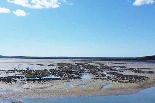
DPI Fisheries is employing new techniques to map important estuarine habitats, such as seagrass, mangrove and saltmarshes and understand their changes over time. These new techniques include:
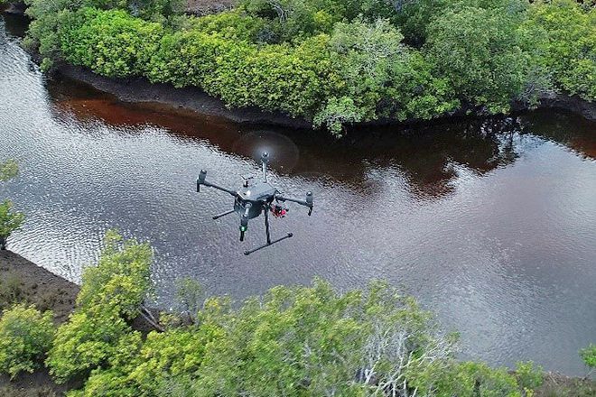
Drones are being used to capture high resolution imagery and to validate and check the mapping for accuracy. Drones are also being used to help map and monitor anthropogenic impacts such as 4WD tracks in Saltmarsh.
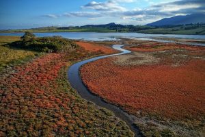
These habitats support a range of fish and other marine organisms and contribute to healthy ecosystems.
To view the latest mapping please visit the NSW Estuarine Habitat Dashboard here – https://bit.ly/3HP2KdH.