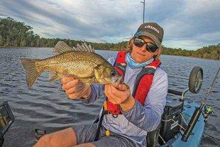
As readers of my column would know, I am more often than not a saltwater angler.
However, at the start of the new year I felt the need for a new challenge, as well as a change of location from my usual estuary, bay, beach and flats fishing exploits.
Recently, I reflected on a great bait-fishing session for bass I’d had a few years ago with my – now sadly departed – friend Tony Robertson from Alvey Reels.
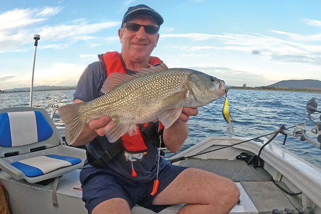
So, I thought I’d go back to Somerset, though this time, to chase bass on lures.
Being a mad-keen trolling fan, I read a few magazine articles from respected fishing writers and found they are a great target for trollers.
So, within a matter of days, I set to work researching the tackle, tactics and the detailed structure map of Lake Somerset using my online Lowrance mapping charts.
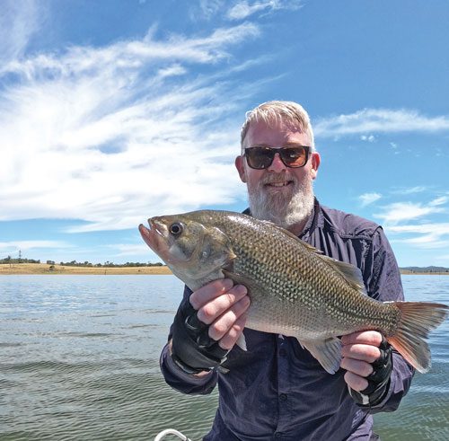
I’m also a huge believer in seeking local knowledge when targeting a new area.
With that in mind, I rang Somerset Fishing Tackle shop and got through to the former owner Robbie Rayner, just as he was selling the company to someone else.
What a gold mine of knowledge and a gentleman Robbie is.
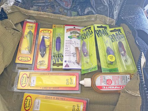
Robbie is a Lowrance pro-angler and now owns the ‘Bass Alternative’, an online store distributing a range of lures including Voodoo and JP, and various other products rarely found in tackle outlets.
Check out his online shop as well as his Facebook page for heaps of reports and information.
Anyway, I chatted with Robbie about trolling speed, target areas, lure depth and more, and he gave me some incredible tips that virtually put me straight onto fish on the day.
So, a lot of the information in this article I gleaned from putting Robbie’s tips into practice, as well as a bit of trial and error using my own trolling techniques for other species.
Locations
In terms of target areas in Lake Somerset, the key is finding structure – noticeable changes in bottom depth – and cover – drowned trees.
These areas attract both bait and fish.
Areas of the lake with good features include Kirkleagh, Pelican Point, Queen Street, Reliable Ridge and the Hump.
These are good starting bases.
From there, you want to be trolling in about 6-10m of water out closer to the middle of the lake.
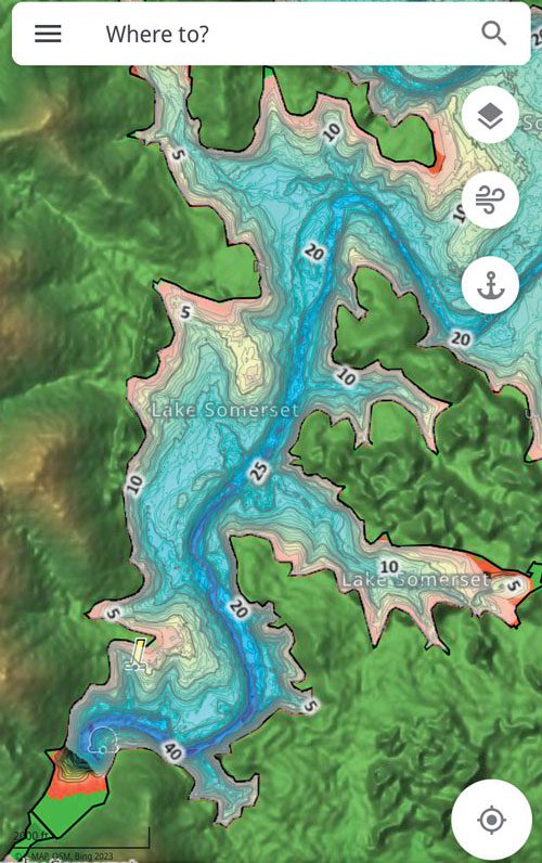
This deeper water can be easily spotted using a good GPS nautical chart.
If you download your chart’s associated app on your phone or tablet, you can clearly see where the old riverbed is from the dammed Stanley River.
Once again, using a good GPS chart, you can find such depth changes by focusing on where the map contours are closer together.
The closer the contour lines, the steeper the slope.
In my two successful trips over the summer holidays – where I caught and released 50 bass and a 9lb yellowbelly – I concentrated in the depth range of about 6.5-8m.
However, I did also find fish sitting mid-water in around 10m of water around the thermocline – a change in water temperature separating the cooler depths from the warmer upper layers.
 Bush 'n Beach Fishing Magazine Location reports & tips for fishing, boating, camping, kayaking, 4WDing in Queensland and Northern NSW
