Latest News
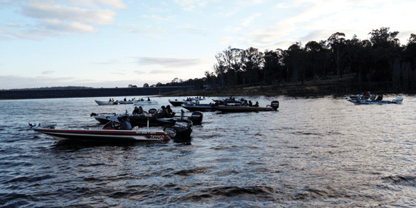
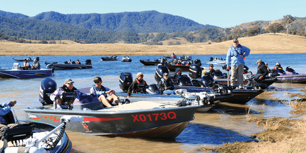
Basstasstic Teams’ Championship qualifier
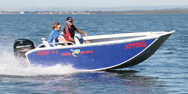
Sea Adex RMP 43 Review
These are big figures for a little boat, however a 60hp motor on a lighter, pressed alloy tinnie would surely result in even higher numbers. Though what a lighter boat couldn’t do is make a mockery of decent size waves created by passing boats. Even with its shallow 10-degree variable deadrise, the RMP managed to avoid the dreaded ‘tinnie slap’ over …
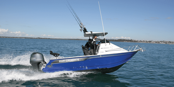
Read More »Bar Crusher 575C review
In this instance, the F115XB fitted with a 13 1/8” diameter, 16” pitch Talon stainless steel prop punched out some impressive figures, especially in the 3000-4500rpm range. At 3000rpm, the Bar Crusher 575C was well up on the plane, cruising along at about 24km/h with an impressive 2.3km per litre fuel economy figure. And it only got better from there: …
Read More »Tailor Tactics – Rock and Estuary
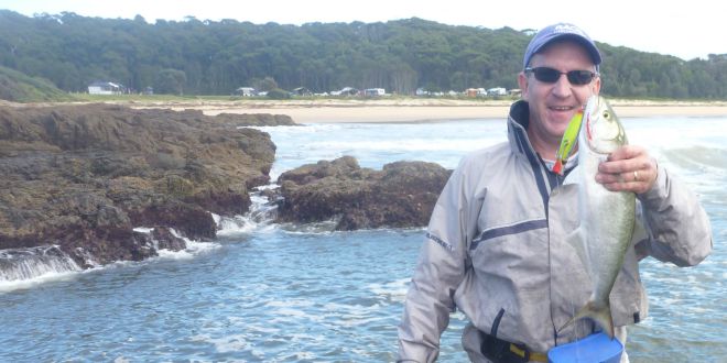
it impedes the lure’s action. The braid helps to get your lure down deeper and bumps on the line from weed or a fish are better transferred to the rod without the stretch of mono. Medium to fast-action rods of about 7’ are perfect for this technique. Once I find the fish and hook up, I like to then cut …
Read More »BASS TT Lures St Clair Classic
Matched to Dane’s rod was a Daiwa Certate 2000 spooled with 10lb Unitika Light Jigging braid rigged with 12’-14’ of 6lb Sunline FC Rock leader. Third place went to an angler who is coming into form at the right time of year, and he has the record to make any angler wary. Matthew Mott not only came out and took …
Read More »Minnie Water Snapper Action
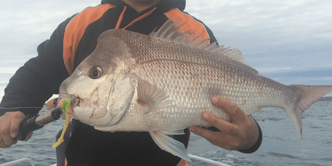
If the lure got to the bottom before the boat drifted over the top of it, we’d give it a few bounces before bringing it up to go again. We found that the feeding fish were nowhere near the bottom and all plastics were hit on the drop from the cast. Most of our big fish were caught on plastics, with …
Read More »Electric smoking oven makes smoking easy
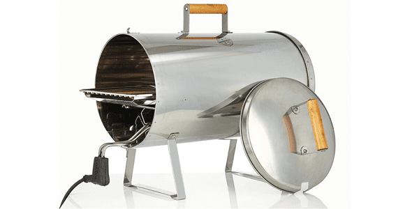
With the Muurikka Electric Smoking Oven you can create delicious healthy and tasty meals without the fuss of fire or hot beads. WE all need to eat, however times are changing as people search for new ways to deliver on the traditional meat and three veg meal. Awareness and respect for food has also changed, especially with the number of cooking …
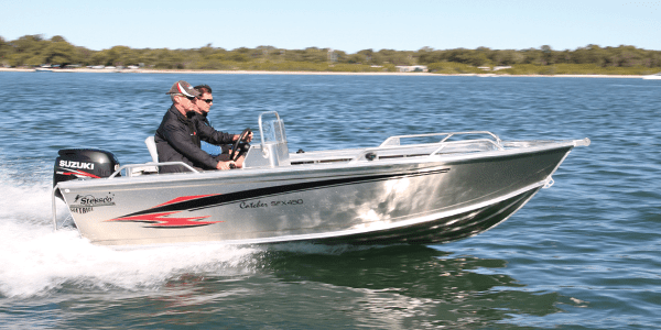
Read More »Stessco Catcher SFX450 SC review
Overall, the Stessco Catcher SFX450 SC brought plenty to the table in terms of inclusions and performance. If you are after a well-appointed boat that performs well and is ready to hit the water straight out of the box, it would definitely be worth considering. The test boat was supplied by Motorsport Marine at Burpengary, so for more information, give …
Read More »Fishing line rules: don’t get in a tangle
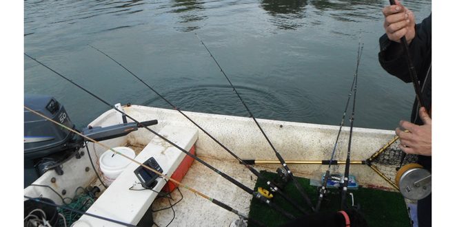
RESTRICTIONS are in place on the number of fishing lines that can be used in Queensland fresh and tidal waters to protect fish stocks from overfishing. Queensland Boating and Fisheries Patrol district manager Rob McDonald said different fishing line rules applied to fishing gear used in tidal waters and non-tidal waters (fresh waters). “Fishers are responsible for ensuring the fishing …
Read More » Bush ‘n Beach Fishing Magazine Location reports & tips for fishing, boating, camping, kayaking, 4WDing in Queensland and Northern NSW

